
Towson, Maryland, is a vibrant community where homeowners and contractors alike are always seeking ways to improve their projects and ensure safety. In this fast-paced world, the latest technology can make a significant difference, especially when it comes to roof inspections, mapping, and aerial photography. Drones are transforming how we approach these tasks, offering enhanced accuracy and efficiency that traditional methods simply can’t match. By embracing drone services, Towson residents and businesses can avoid costly surprises and streamline their operations, all while enjoying the breathtaking views of our local landscapes.
In this blog post, we’ll explore the many benefits of drone technology for Towson homeowners and contractors. From enhancing safety through precise roof inspections to providing valuable aerial maps that assist builders, drones have become an indispensable tool in our community. We will also highlight how aerial photography can capture the beauty of Towson, showcasing properties and local businesses in a whole new light. Join us as we delve into why drone services are a game changer for our city, promoting not just efficiency but also peace of mind for everyone involved.
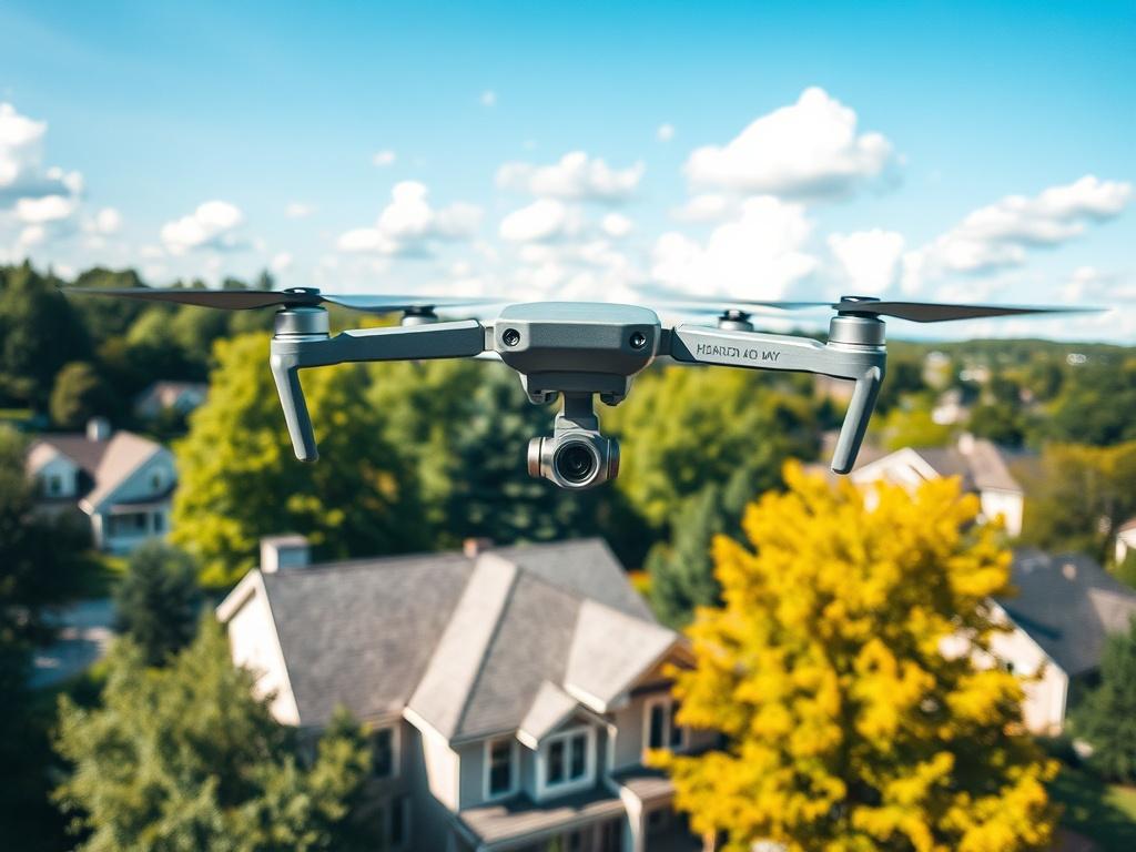
Why Towson homeowners should embrace drone roof inspections for enhanced safety and accuracy
Towson homeowners can significantly improve their property maintenance by utilizing drone roof inspections. Traditional roof inspections often require ladders, scaffolding, and sometimes even unsafe climbing. Drones eliminate these risks, allowing home inspectors to assess roofs from a safe distance while capturing high-resolution images. Not only do drones make the process safer, but they also ensure that every inch of your roof is thoroughly examined. By identifying potential issues such as missing shingles or structural damage early, homeowners can prevent expensive repairs down the line.
Moreover, drone inspections provide a level of accuracy that traditional methods simply can't match. Equipped with high-resolution cameras and thermal imaging technology, drones can detect leaks and heat loss, giving homeowners a comprehensive view of their roof's condition. This detailed information empowers Towson residents to make informed decisions regarding repairs and maintenance. With peace of mind from knowing the true state of their roofs, homeowners can focus on enjoying their beautiful homes instead of worrying about hidden damage lurking overhead.
The advantages of drone mapping for contractors and builders in Towson
Drone mapping offers a transformative advantage for contractors and builders in Towson, Maryland, by providing precise site surveys and topographical data. These drones can swiftly capture high-resolution images and create detailed maps of construction sites, enabling professionals to plan and execute their projects efficiently. This state-of-the-art technology helps reduce manual measuring errors and enhances project accuracy, resulting in smoother operations and fewer costly delays. As builders monitor the progression of their projects, they can rely on real-time data to make informed decisions and adjustments on the fly.
In addition to improving project accuracy, drone mapping helps strengthen communication and collaboration among different stakeholders. Contractors can share aerial maps and visual data with homeowners, architects, and project managers, ensuring everyone is on the same page. By visualizing the project from above, everyone gains a clearer understanding of the layout and potential obstacles. This level of transparency not only builds trust but also enhances safety, as teams can identify hazards and manage risks more effectively. Overall, embracing drone mapping technology empowers Towson’s contractors and builders to deliver high-quality work while keeping projects on track and within budget.
Capturing the beauty of Towson: Aerial photography benefits for homeowners and businesses
Aerial photography offers Towson homeowners and businesses a fresh perspective on their properties and the stunning landscapes of our community. By utilizing drone technology, photographers can capture high-resolution images that highlight the unique features of homes, gardens, and local landmarks. These captivating images serve not only to preserve memories but also to enhance real estate listings, engaging prospective buyers through vivid visuals. For businesses, stunning aerial shots can elevate marketing campaigns, making websites and social media profiles more visually appealing and informative.
Moreover, aerial photography is an invaluable tool for community engagement. By showcasing the beauty and vibrancy of Towson, local businesses can strengthen ties with residents and attract visitors. Non-profits and community organizations can also benefit by utilizing drone images for promotional material, helping to highlight local events or conservation efforts. In essence, aerial photography creates a visual narrative that connects the community, celebrates Towson's charm, and supports local initiatives. Embracing this innovative technology provides both homeowners and businesses with unique opportunities to stand out and make memorable impressions.
Serving Baltimore County: Towson,Rossville,Essex,Dundalk and surrounding areas.
Get updates on new drone projects, aerial shots, and special announcements. Join our Nesletter Today
Hi there,
Thanks for subscribing to the Skyline Baltimore newsletter. I’m glad to have you here.
You’ll receive occasional updates with:
• New aerial projects and behind‑the‑scenes shots
• Tips for roof, gutter, and property maintenance
• Special offers on inspections and mapping
• Local Baltimore highlights from the sky
I keep things simple — no spam, no clutter, just useful updates and great visuals.
If you ever need a roof inspection, aerial photos, or project documentation, Pleace reach out if you need us. 410-790-6632
support@skyline-baltimore.com
Talk soon,
David
Skyline Baltimore Drone Services
Something went wrong. Please try again later.